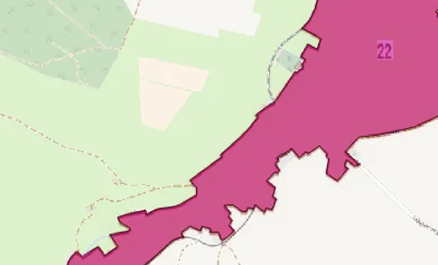
Besides my study and work, I got offered to develop an application for GIS data extraction from image layers using a WMS service.
Problem
At a real estate valuation company, a working group copied standard ground zones and corresponding values by hand from a WMS service using Qgis. This time-consuming and expensive process dealt with error rates and quality assurance of imported data.
Due to a large amount of data and long processing time, the working group could not ensure recently updated data or import additional data sources.
Solution
The entire process got analyzed and mapped to a data pipeline. Next, every step got automated and parameterized for future customization, featuring new data sources. Finally, the application got reviewed, trained, and deployed.
Result
The company could speed up importing new data significantly from several months to about a day using the application. Furthermore, the resulting quality increased, and the process got far less error-prone. As a result, it was possible to import additional data sources and update them as soon as new versions got released.
Challenges
The different capabilities of WMS services and the variety of data representation put significant challenges to the design of data import. Furthermore, scanning the entire area at the most granularity was infeasible and inefficient. Therefore, a hierarchical map analysis put new challenges to the parallelization.
Furthermore, the combination of applied computational geometry and image recognition in geo-information systems put some exciting obstacles to the reusability of algorithms with different data representations.